
Warren River
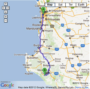
- The two access tracks are very steep hill climbs. In summer these may be very soft due to the lack of moisture in the sand. Letting your tyres down to low pressures (10-12lbs)is required. Crossing either of the rivers should only be attempted in summer, with a degree of previous experience.
- Contact: DPaW Pemberton Phone: (0)8 9776 1207 DPaW Parks and Wildlife


- Nearest service:Pemberton


- Track Length: 69km
 Windy Harbour
- Distance from Perth: Pemberton 326km
Pemberton to Ritter rd 12.3km - StreetSmart®Travellers Atlas 9th Edition Map 8 Grid Ref: B 2
- Roads and Tracks Western Australia 2005 Map 3a Grid Ref: C 1
The northern entry to the Warren River access track is on the Old Vasse Rd (WR01) which branches off the Vasse Highway. Approximately 500m in from the highway on your right you will find Ritter rd (WR02). Turn right into Ritter rd and follow the gravel rd to Lake Yeagarup (WR03). Arriving at the pay station you will have to part with $9 to access the track to the Warren River beach. Following the track towards the beach, the Yeagarup Dunes announce themselves at WR04. There are parking areas here where you can let your tyres down, before tackling the dunes.
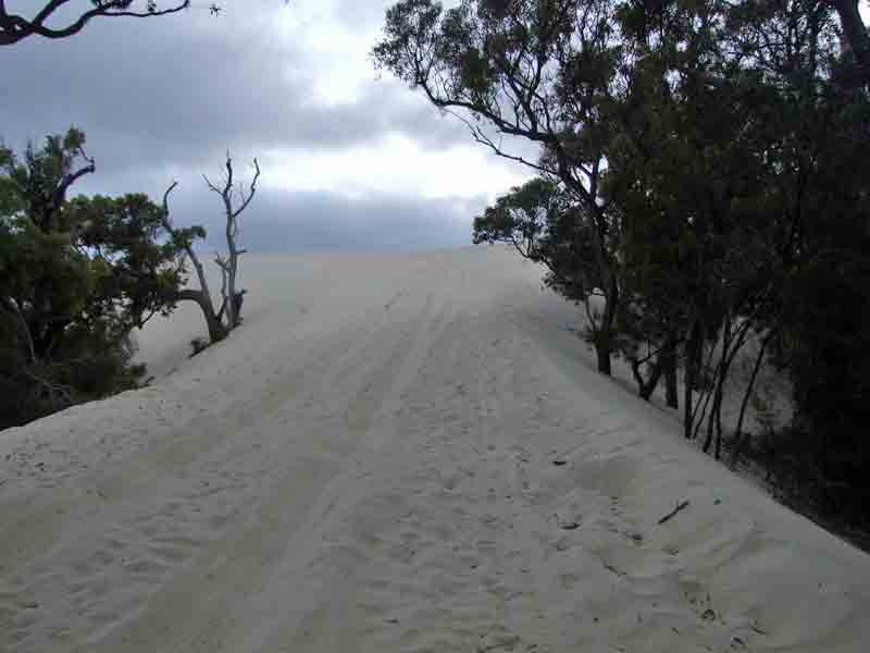
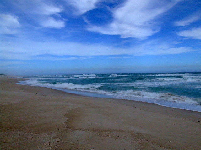
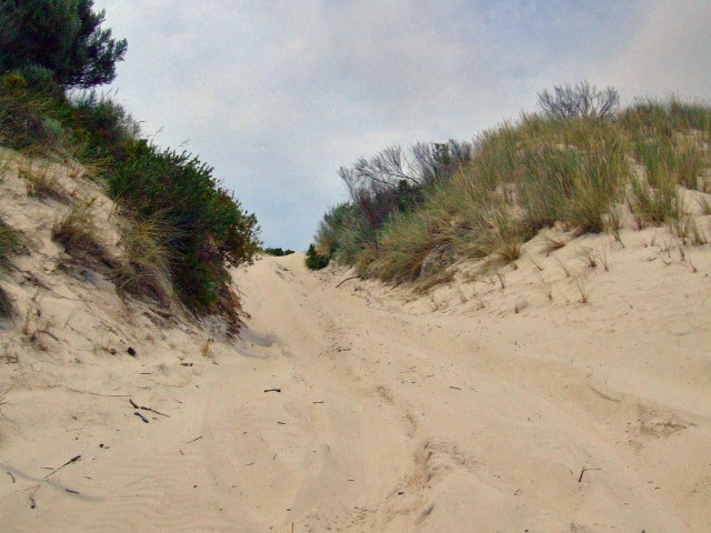
The track through the Yeagarup Dunes is marked with a series of posts in the ground and is about 2.5km in length. The entry point to the next dune area entails descending through a bottleneck at WR10. This area is as steep as it gets west of the Warren River. There is a track that runs behind the dunes that will take you to the Warren River (WR15) if beach conditions don,t allow access to the beach.There are no facilities here at all and you will have to carry everything in and out.
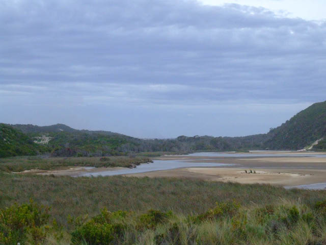
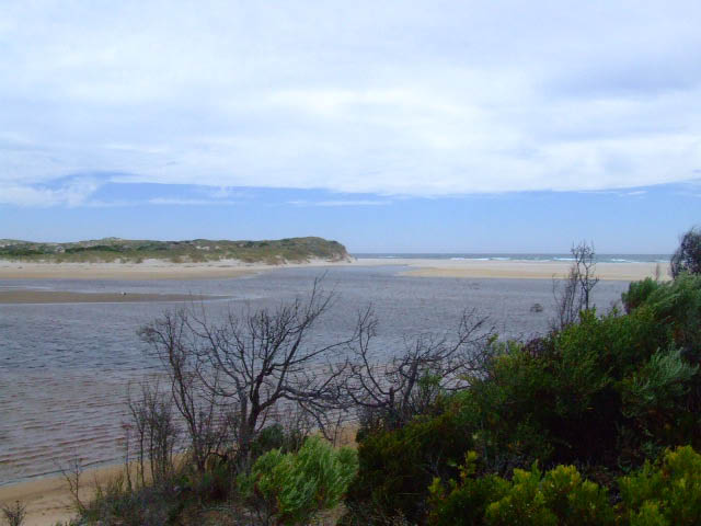
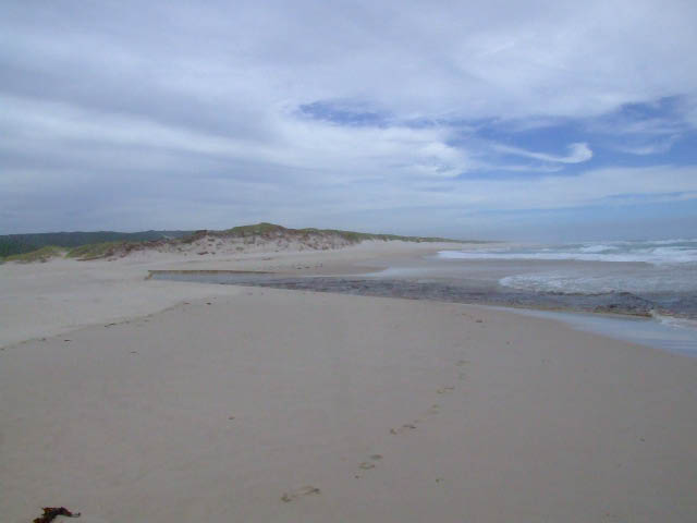
The eastern side of the Warren River can be accessed from the intersection of Richardson rd and Lewis rd. Following the gravel rd for about 5.5km you will eventually run onto the sandy track. The track can be loose sand in places, though there are railway sleepers at the bigger descents. There is a shaded camping area at WR39. There is a lookout that can be accessed on foot at WR40. Calcup Hill is the steepest sand climb around this area and even though the descent is spectacular the ascent will require very low tyre pressures (as low as 12lbs). Meerup River mouth can be accessed once you have reached the beach.
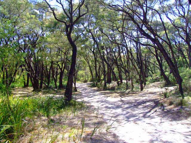
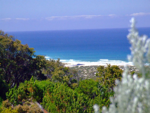
top of Calcup Hill

The following pictures are derived from a Digital Elevation Model (SRTM 3sec). The information is created by following the track with a line of sight tool. The images are to give you an idea of the descents and as always not entirely accurate.


The best time to travel Yeagarup Dunes and Calcup Hill is during the wet months if its your first time down that way. The summer months dry out the sand and does not compact as well as moist sand. The larger vehicles will compact this sand down quite well though they will create a deeper wheel rut.. The problem then is it becomes a ground clearance problem for smaller vehicles that can have parts of their under carriage touching the sand. A possible way around this for these vehicles is to straddle the bigger wheel ruts. These vehicles generally have a lower vehicle weight and may handle the soft sand better.
A skill that should learn't is the ability to reverse down a sand hill in gear without using the brakes. For example if you get half way up Calcup Hill and come to a stop. Trying to roll down the hill backwards can lead to losing control of the vehicle. Even though the brakes are applied and is in neutral the car may literally slide downhill due to the steepness of the hill. You will also lose the ability to steer also.
In this scenario you should put the car into reverse and let the clutch out. The reverse gear is generally a lower gear and along with the motor act as a type of engine brake. Low range allows the most control and it is best to be prepared for this scenario before hand. The initial reaction between getting it into reverse and then letting the clutch out can be a bit nerve wracking as it gives the impression that the vehicle will launch down the hill. It is best to practice this skill on some smaller sand dunes to familiarise yourself with the technique.